WFP: Moving rail lines outside city would make Winnipeg ‘major transportation hub
…After decades of calls to move rail traffic to the outskirts of Winnipeg, a plan that would benefit residents, railways and taxpayers is now on track, says [Lloyd Axworthy], the former Winnipegger leading the way.
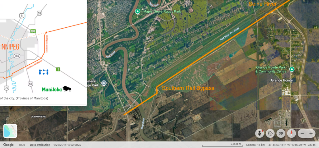
A rail line bypass south of the city, using Crown-owned land and the Manitoba Hydro corridor, would take 20 years to complete, remove 120 railway crossings that are a safety risk and free up about 250 acres of Winnipeg land over time for development, Lloyd Axworthy said Wednesday.
“The visions that we have have to be implemented,” Axworthy said at a news conference announcing the launch of a 90-day feasibility study to move freight rail traffic out of Winnipeg’s urban core along Manitoba Hydro’s southern transmission corridor, connecting east to west along the Perimeter Highway.
The former federal transport minister and Manitoba MP was tasked by Premier Wab Kinew in October 2024 to lead a two-year rail relocation feasibility study.
The new study will zoom in on the proposed bypass route and if it could improve the movement of goods, reduce impacts on residential neighbourhoods and open new opportunities for housing, green space, transportation and economic development… (WFP, August 12, 2026)
… “It could also allow a greenway — an area with no development — to be established between the bypass corridor and areas where the city intends to build itself out, [Lloyd] Axworthy added.”… (CBC, August 12, 2026)
In preparation for planned public consultation meetings regarding the St. Vital Perimeter South Sector Plan, currently delayed, Save Our Seine has commissioned a study of the riparian lands between the Perimeter Highway and the Red River Floodway. Initial research shows that the subject Manitoba Hydro Right-of-Way is located immediately south of the Floodway. It is apparent that new railroad bridges over the Red River and the Seine River would need to be constructed.
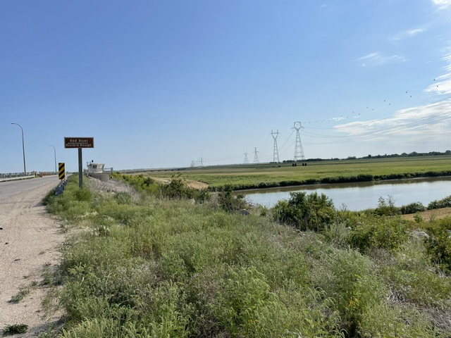
ABOVE: Red River Floodway viewing east
It appears that the Hydro ROW is located adjacent to a low tech marvel, the Seine River Siphon. Without any pumping or the need for electrical infrastructure the siphon allows the rural Seine River to flow unimpeded beneath the below grade floodway channel.
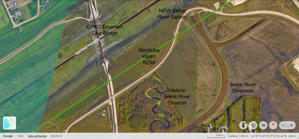
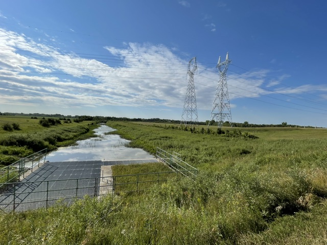
ABOVE: Seine River Siphon Viewing south
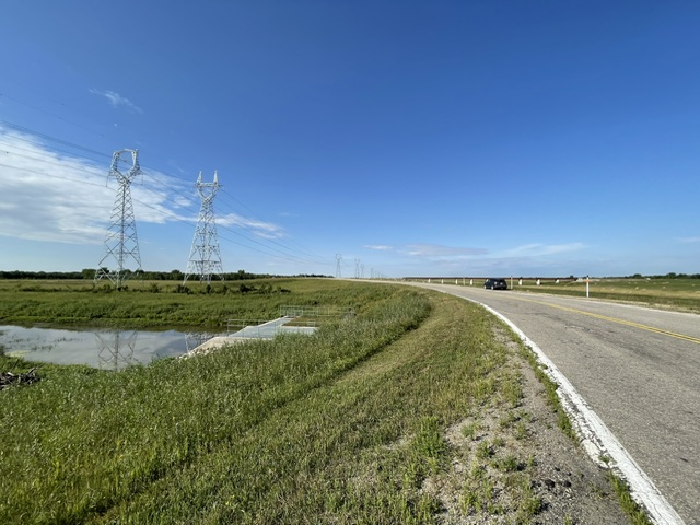
ABOVE:Viewing west
The river water then reappears as the 26 km long urban Seine River north of the floodway in the Vermette community.
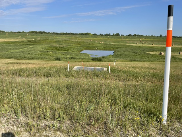
ABOVE: Red River Floodway Viewing north
While Save Our Seine has had many associations with the siphon, successfully advocating for its reconstruction after the 1997 flood, the rurban area in Grande Pointe is traditionally seen as being outside the SOS catchment area (with some exceptions).
Qualico and other developers are currently planning new residential communities in sensitive forested areas such as the Sumka Lands in the Vermette-Seine River Greenway. SOS and other stakeholders will be very interested in future discussions on a green belt between the future urban growth line (yet to be determined) and the proposed railway tracks.